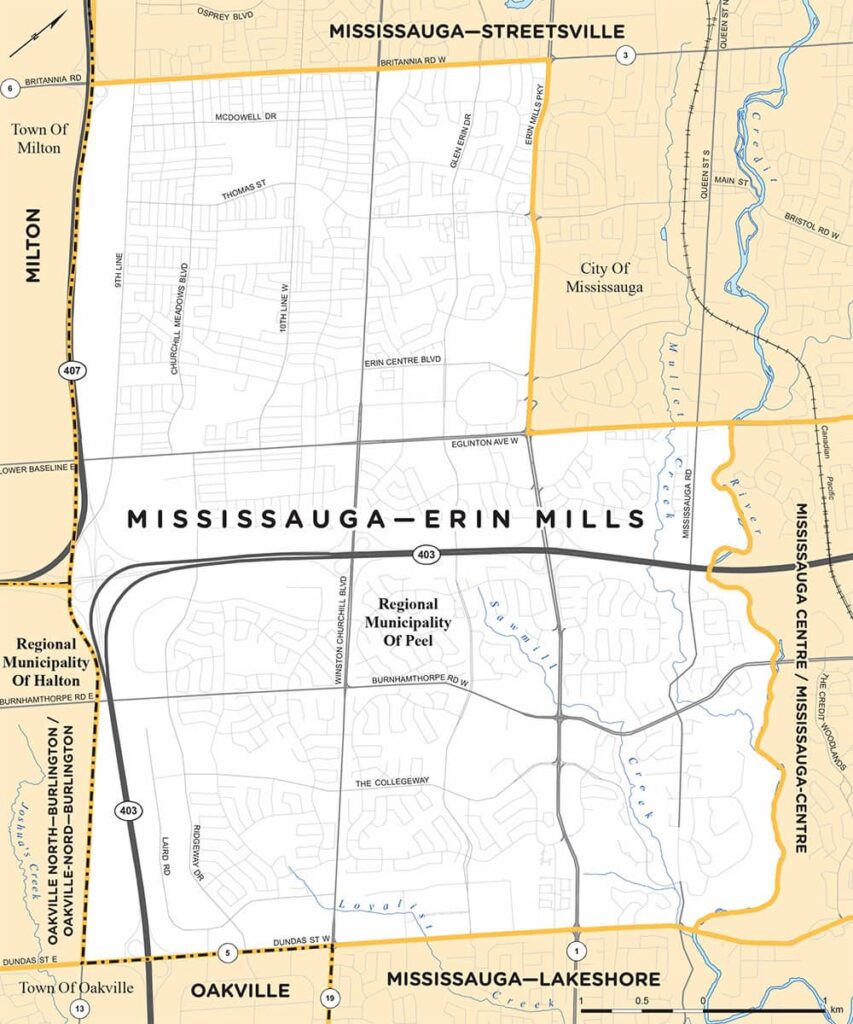
Mississauga–Erin Mills

Mississauga—Erin Mills is a provincial electoral district in the province of Ontario.

Extending from Dundas in the South to Britannia in the North, this riding covers communities including Erin Mills, Central Erin Mills, and Churchill Meadows.

Points of Interest

There are many commercial centres in Erin Mills, including Erin Mills Town Centre, Ridgeway Plaza, and South Common Centre. Community centres in Erin Mills include Erin Meadows Community Centre, Churchill Meadows Library, Churchill Meadows Community Centre and Sports Park, and soon-to-be the newly-renovated South Common Community Centre.

Our area is also home to Credit Valley Hospital, and the University of Toronto-Mississauga.

History

Erin Mills lies on territory originally inhabited by the Mississaugas of the Credit First Nations. These people arrived in the area in the late-1600s.

Treaties during the early 1800s led to expansion into Mississauga by British settlers. However, the Mississaugas first nations remained near the Credit River (with their main village south of Dundas) until 1847 when they departed to Six Nations land on the Grand River.

Throughout the second half of the 1800s and first half of the 1900s, Erin Mills was predominantly farmland, sitting to the West of communities such as Streetsville and Erindale, North of Clarkson, and South of Meadowvale.

Small settlements in what is now Erin Mills have been documented to have existed by Heritage Mississauga. These include “Frogmore” (Winston Churchill & Dundas), “Diamond” (Ninth Line & Britannia), and “Snider’s Corners” (Ninth Line & Burnhamthorpe).

Large-scale development of Erin Mills began in the 1970s with the construction of residential property, beginning south of Burnhamthorpe and later spreading north. This process was accelerated and spread further North by the construction of the 403 and Erin Mills Town Centre in the late 1980s.

Today, the community is predominantly residential, commercial, and industrial. Mississauga—Erin Mills can be commonly divided into three neighbourhoods: Erin Mills (south of 403), Central Erin Mills (east of Winston Churchill), and Churchill Meadows (west of Winston Churchill).


Federal and Municipal Counterparts

Our MPP office is responsible for matters of provincial jurisdiction. We would be happy to assist you with these matters.

However, if your concern falls within federal or municipal jurisdiction, we would encourage you to contact your respective federal Member of Parliament or municipal councillor.

NameEmailPhone
MP Rechie Valdezrechie.valdez@parl.gc.ca905-812-1811
MP Iqra Khalidiqra.khalid@parl.gc.ca905-820-8814
Councillor Sue McFaddensue.mcfadden@mississauga.ca905-896-5010
Councillor Matt Mahoneymatt.mahoney@mississauga.ca905-896-5800
Councillor Martin Reidmartin.reid@mississauga.ca905-896-5900

Find your MP and Councillor

A map displays boundaries of federal and municipal elected officials of residents in the provincial Erin Mills riding.

MP Iqra Khalid covers all areas of Erin Mills, except the community North of 403 and East of Erin Mills Pkwy which is under the jurisdiction of MP Rechie Valdez.

Councillor Martin Reid covers the area bounded by Eglinton Ave in the south, Winston Churchill in the west, and Erin Mills Pkwy in the east.

Councillor Sue McFadden covers the area bounded by Eglinton in the South, and Winston Churchill in the east.

Councillor Matt Mahoney covers the area south of Eglinton Ave.